

Shrewsbury is located within a loop of the River Severn, which encloses it on 3 sides, close to the border between England and Wales. Two bridges lead from the town, appropriately named English Bridge and Welsh Bridge. It has a strong and long history and today there are over 650 listed buildings within the town.

It was originally the capital of the ancient Welsh Kingdom of Powys but was captured by Offa of Mercia in 778AD. In 1069, it was besieged by a Welsh army but was relieved by a Norman force led by William the Conqueror. William gave the town and the lands to Roger de Montgomery, whom he created Earl of Shrewsbury. Roger was responsible for the foundation of two of the town’s most prominent buildings, the castle in 1074 and the Benedictine Abbey in 1083. It was besieged again in 1138 when it was held for Empress Matilda against King Stephen during the anarchy.


In the Middle Ages Shrewsbury became commercially a very rich town, mainly due to the wool trade. The only interruption being during the Civil War when in 1645 as Royalist stronghold it was besieged and captured by the Parliamentary forces.


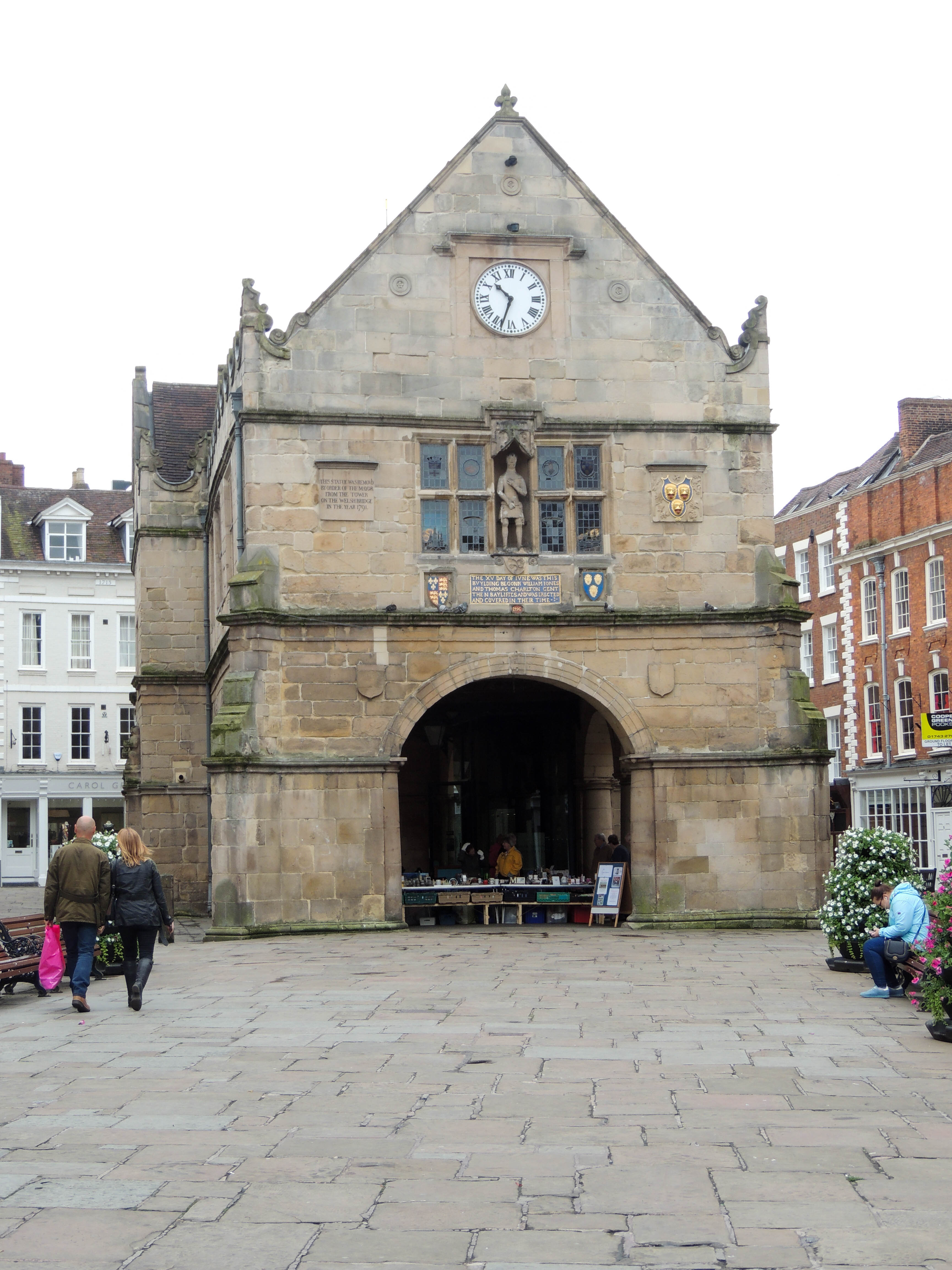
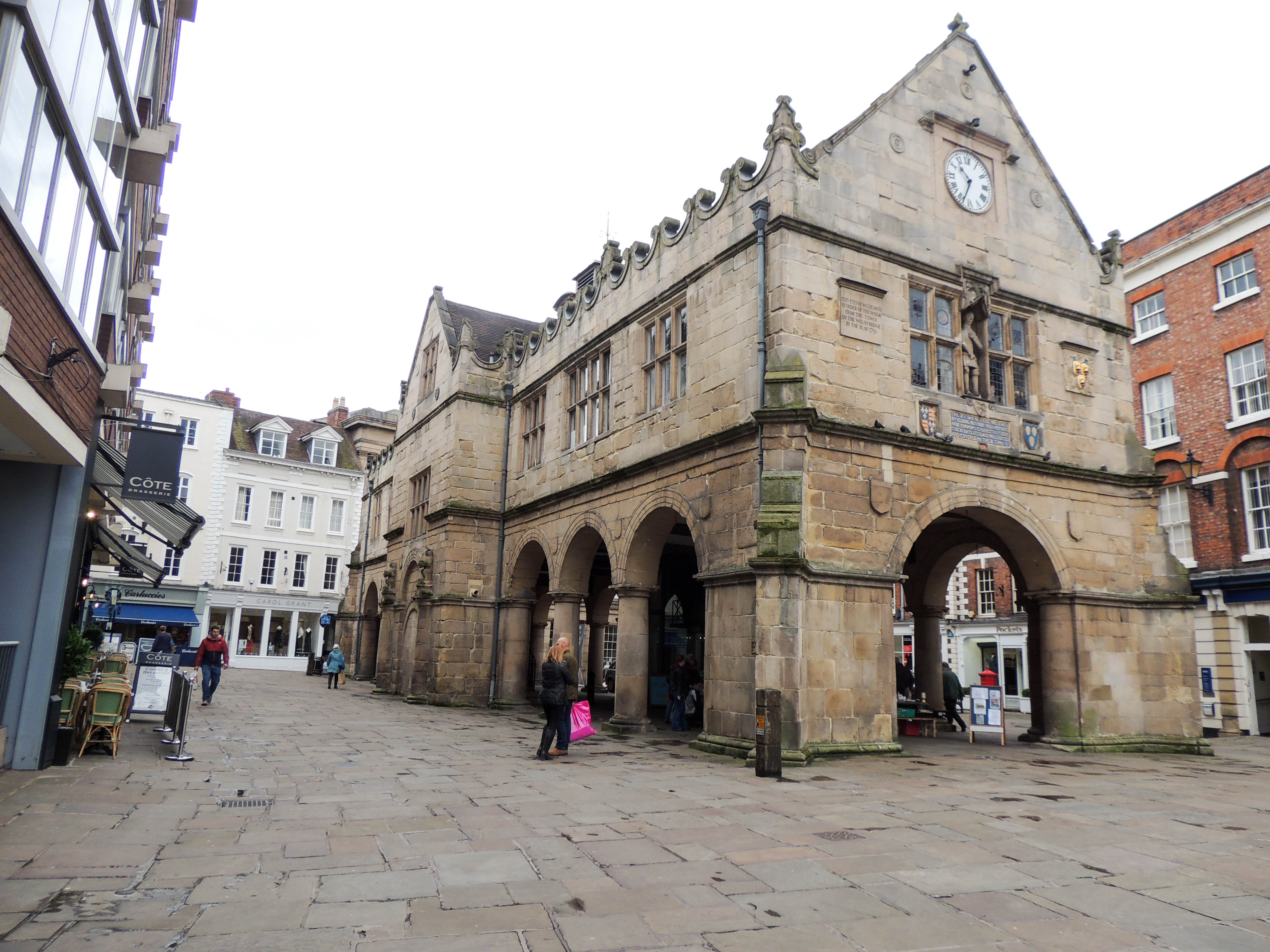
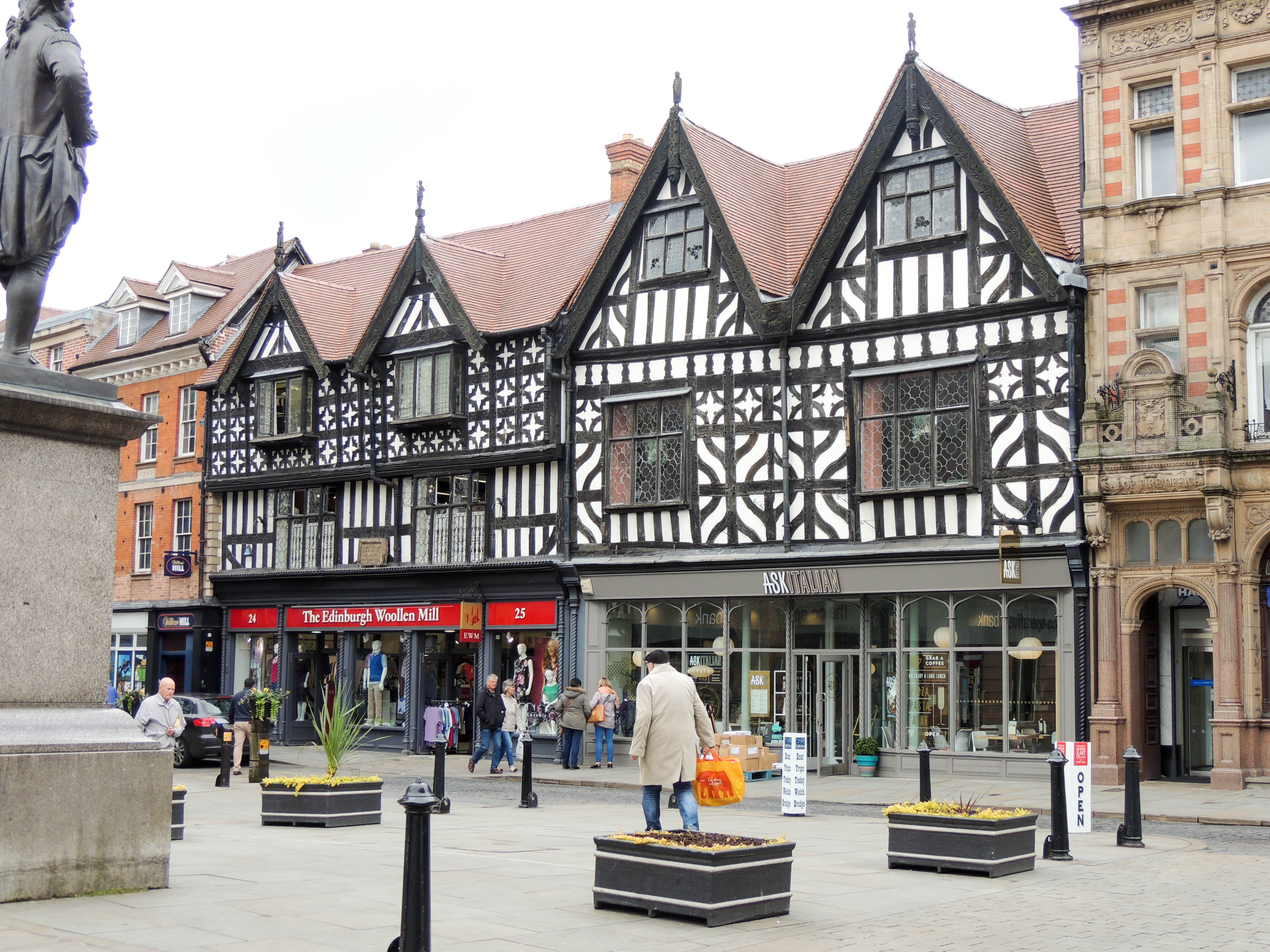
Much remains of Medieval Shrewsbury, as is born out by the high number of listed buildings.
